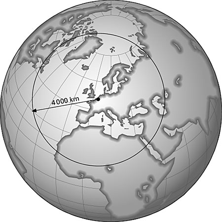
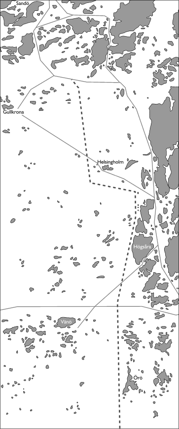
Here are two other maps in greyscale. The first one shows the operating radius of the planned EU (European Union) defense forces. The second shows a suggested new route in
the archipelago outside Turku.
This one was also originally a plain ugly green-blue clipart on the CorelDRAW CD. The
colours were changed to gray tones since the image was to be printed on a black and white page. Again the Contour Tool was used to add a 3 D look to the continents.
The map on the left was just a hand-tracing from a couple of poor scans joined together.
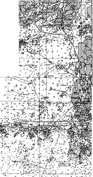
The original source map that I traced is on the right.